




19 October 2026
Why RTK alone is not enough for robotic mowing
Precise positioning helps a robotic mower follow its map. Recognising obstacles, navigating confined areas and managing reduced satellite reception require more. The complete system determines how independently the mower can work.
Quick answer
RTK helps a robotic mower calculate its position accurately. It does not, by itself, recognise an obstacle, plan a route around garden furniture or decide how to leave a dead end.
Those tasks depend on other sensors, mapping and navigation software working together.
This distinction was evident in the 2026 SGS comparison. All four tested mowers received full marks for open-area path accuracy, but their results differed across obstacle detection, recovery and complex navigation. Kress EyePilot achieved the highest weighted overall score at 4.5 out of 5.
What RTK contributes
RTK stands for Real-Time Kinematic positioning. It combines Global Navigation Satellite System, or GNSS, observations with correction data from reference stations at known locations.
Under suitable conditions, this provides the precise, repeatable positioning needed to support:
• following mapped virtual boundaries;
• maintaining systematic mowing lines;
• navigating between mapped lawn zones;
• following return routes to the charging station.
These are important foundations for wire-free mowing. Accurate positioning helps limit missed strips and unnecessary overlap while keeping the mower’s movements aligned with its map.
But a map and a position do not describe everything happening in a garden. A chair may have moved since the lawn was mapped. A person may cross the mowing route. A passage may be partly obstructed.
The mower needs to detect and respond to those changes.
What positioning cannot do on its own
Recognise obstacles
RTK provides position information. It does not identify a ball, an animal or a person in the mower’s path.
Obstacle detection requires other sensors and software. The navigation system must then use that information to decide whether to slow down, stop or change direction.
For homeowners, the outcome matters in two ways: how the mower responds to the object and how much grass it leaves uncut around it.
Navigate difficult layouts
Knowing where the mower is does not automatically determine how it should move.
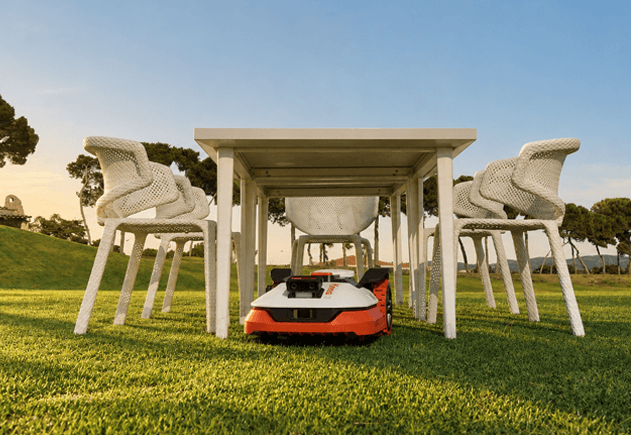
A confined arrangement of furniture may leave little room to turn. A dead end requires the mower to find a way out. A narrow connection between lawn zones may demand careful route planning and movement control.
RTK can contribute position information in each situation. The wider navigation system determines how that information is used.
Manage reduced satellite reception
Trees, buildings and walls can obstruct or reflect satellite signals. RTK correction data cannot replace satellite observations that the mower is unable to receive.
Supporting localisation methods may help the mower manage temporary reductions in positioning confidence. Depending on the system and conditions, it may continue, slow down or pause until a reliable position becomes available again.
The important measure is how effectively it manages the interruption and recovers afterwards.
How the technologies work together
Manufacturers may combine RTK with cameras, inertial sensors and wheel movement measurements. Bringing information from several sensors together is commonly called sensor fusion.
Each input serves a different purpose.
| Technology | Main contribution |
|---|---|
| RTK positioning | Provides a precise satellite-based position reference under suitable conditions. |
| Visual localisation, including V-SLAM | Uses visual features to help estimate position and movement relative to the surroundings. |
| Inertial sensors | Measure changes in motion and rotation to support movement estimates. |
| Wheel odometry | Estimates travel from wheel rotation. |
| Camera-based perception | Interprets images to help detect objects, grass edges and other features. |
| Navigation software | Uses the available information to plan routes, control movement and respond to changing conditions. |
V-SLAM stands for visual simultaneous localisation and mapping. Its role differs from camera-based object recognition: estimating movement from visual features is a separate task from recognising what an object is.
Supporting inputs also have limitations. Wheel slip can affect odometry, while limited visual features can make visual localisation more difficult. Movement estimates may accumulate error and need correction from a reliable position reference.
The exact combination varies by product. What matters is how effectively the system uses the information available.
Why similar specifications can produce different results
Two mowers may both list RTK, cameras and obstacle detection. That does not establish that they will respond equally well to the same garden.
Consider a chair placed on the lawn. The mower needs to detect it, judge the available space, select a route and control its movement around the legs. It then needs to resume mowing without leaving an unnecessarily large uncut area.
If the chair forms part of a confined arrangement, the mower may also need to recognise that its current route is unproductive and find another way out.
Each step depends on the quality of the sensor information and the software’s response. A feature list describes the technologies available; practical testing shows what the complete mower can achieve.
What the SGS comparison showed
The 2026 SGS comparison assessed four premium robotic mowers sold through specialist dealers across 12 areas of performance.
All four received 5 out of 5 for path accuracy in the open-area test. SGS assessed the uniformity of the cut, missed grass and the clarity and straightness of the mowing pattern.
The results separated more clearly in tasks involving obstacles, confined spaces and reduced satellite reception.
| Test area | Kress EyePilot | Mower A | Mower B | Mower C |
|---|---|---|---|---|
| Path accuracy | 5 | 5 | 5 | 5 |
| Static obstacle detection | 5 | 1 | 3 | 4 |
| Trap recovery | 5 | 1 | 5 | 3 |
| Dead-end navigation | 4 | 1 | 2 | 4 |
| Inter-zone navigation | 5 | 5 | 1 | 4 |
| Signal-loss recovery | 4 | 1 | 4 | 3 |
Scores are out of 5. These are selected categories from the complete comparison.
Kress EyePilot received the highest or joint-highest score in 11 of the 12 test areas. It achieved the highest overall score at 4.5 out of 5, followed by Mower C at 3.8, Mower B at 3.7 and Mower A at 2.5.
That breadth of performance is relevant to gardens where accurate open-lawn mowing is only part of the job. Obstacles, connecting passages and difficult reception can all affect whether the mower completes its work independently.
The comparison does not establish that one sensor or positioning technology caused the result. It assessed the performance of complete mowers under defined conditions.
What buyers should ask
The layout of the garden should guide the assessment. Before choosing a robotic mower, ask:
1. How accurately can it map the lawn and its boundaries?
2. How does it respond to small obstacles and objects placed in its route?
3. Can it leave confined areas and dead ends without assistance?
4. Can it travel reliably between separate lawn zones?
5. What happens when satellite reception becomes less reliable?
6. Can a specialist dealer assess the garden and explain any installation requirements?
These questions connect the specification to the work the mower will need to do.
A straightforward open lawn presents different demands from a garden with mature trees, furniture and narrow passages. The appropriate choice depends on the complete system’s ability to manage those conditions.
Conclusion
RTK provides a precise positioning foundation for robotic mowing. Perception, mapping, movement control and navigation software turn that position into useful work.
In the SGS comparison, Kress EyePilot matched all three competitors on open-area path accuracy and achieved the highest overall result through performance across the wider test.
For homeowners, that is the value of looking beyond a single technology: understanding how independently the mower can manage the garden as a whole.
Frequently asked questions
RTK supports precise positioning, but a mower also needs mapping, movement control and navigation software. Detecting obstacles and responding to changes in the garden require additional sensing capabilities.
V-SLAM uses visual features to help estimate position and movement while building or updating a map. Camera-based perception interprets images to recognise features such as obstacles or grass edges. They perform different tasks, although both use camera input.
No. Sensor quality, software and the way information is combined all affect the result. More inputs can support navigation, but the complete system must use them effectively.
They may help bridge temporary interruptions, depending on the product and conditions. Visual and movement-based estimates have limitations, so continued operation is not guaranteed whenever satellite reception is unavailable.
All four tested mowers achieved full marks for open-area path accuracy, while scores differed across other challenges. Kress EyePilot achieved the highest overall score, demonstrating the breadth of its performance within the defined comparison.
Share this article


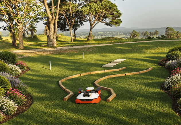
Can robotic mowers handle narrow passages, dead ends and multi-zone gardens?
See how robotic mowers navigate narrow passages, dead ends and separate lawn zones.
9 November 2026
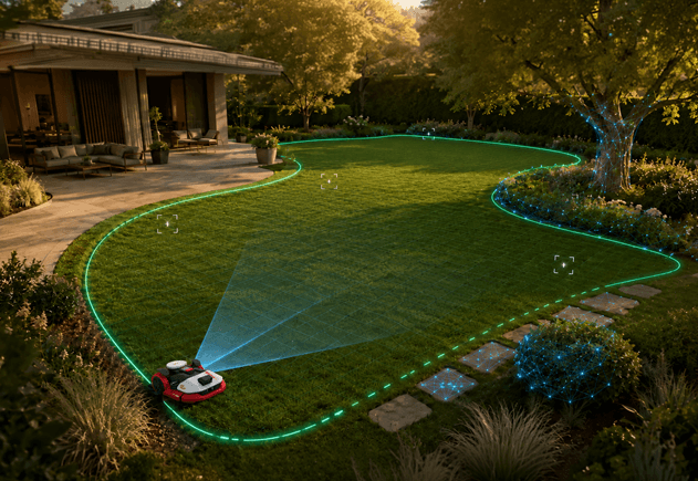
Auto-mapping: how accurately does it define the lawn?
Creating a map is only the beginning. Discover what makes robotic mower auto-mapping truly reliable.
2 November 2026
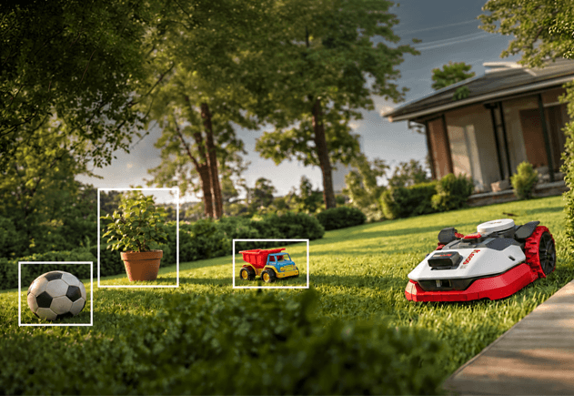
Obstacle detection: what matters in a real garden?
Detection is only the first step. See what effective obstacle avoidance requires in a real garden.
26 October 2026
What happens when a robotic mower loses RTK signal?
Trees, buildings and interrupted correction data can weaken positioning. See how robotic mowers respond.
12 October 2026
Network RTK vs. local base-station RTK: what is the difference for robotic mowers?
Two routes to precise, wire-free mowing. Discover how Network RTK differs from a local base station.
5 October 2026
Four premium robotic mowers compared in the 2026 SGS test
Four premium robotic mowers. Twelve real-world SGS tests. See which came out on top.
11 September 2026


